Freihafen Elbe Bridge: Temporary Replacement Planned to Open in 2028
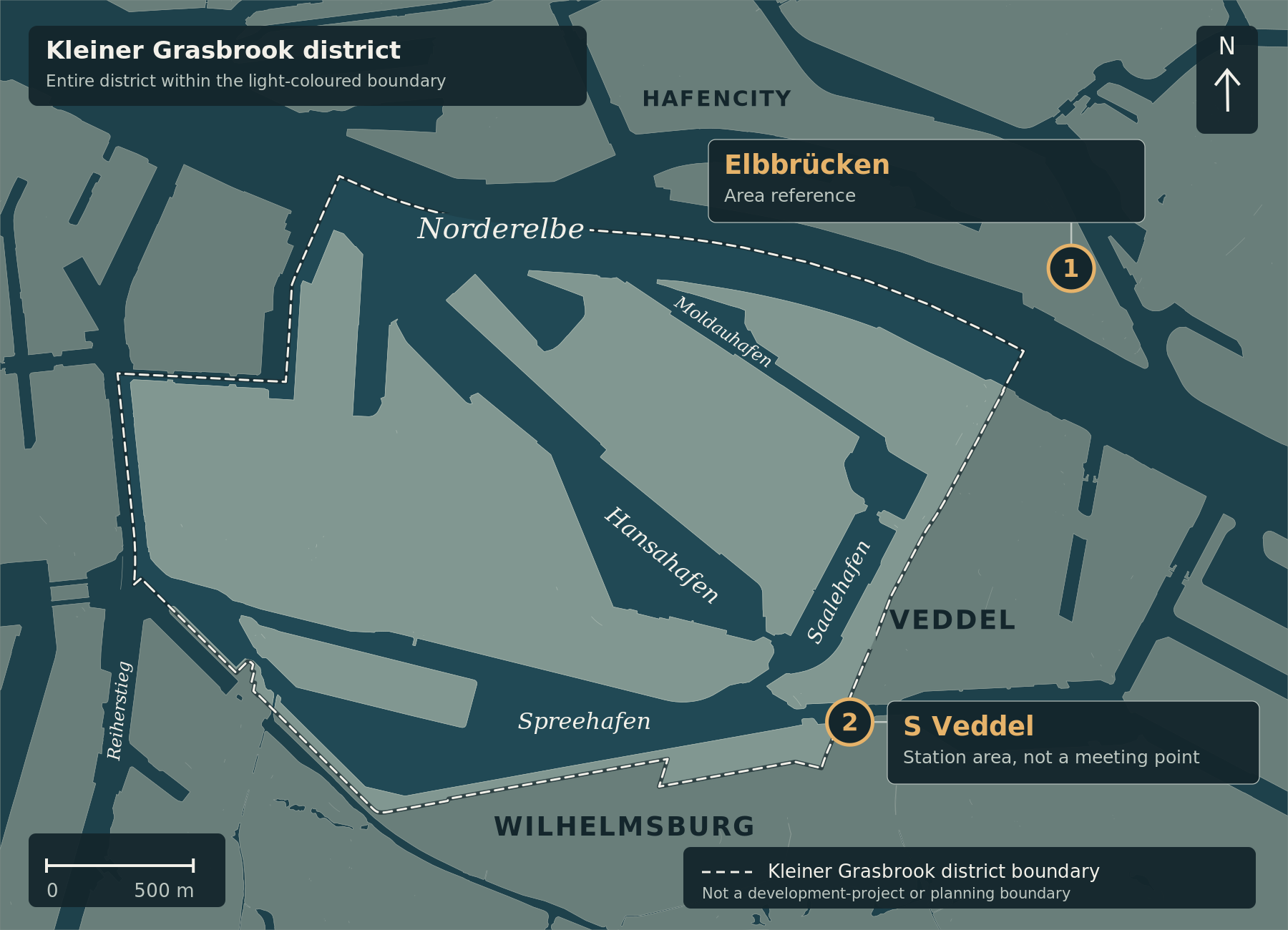
Marker 1 identifies the Elbbrücken orientation area rather than an individual bridge. Marker 2 shows the S Veddel station area. The planned temporary bridge and its exact alignment are not shown. The light dashed line marks the Kleiner Grasbrook district boundary, not a project boundary; the light connector lines belong to the labels, not the road network.
Map correction, 5 October 2026: The orientation map and its explanation have been updated. The original article text and its subject-matter source review date remain unchanged.
Hamburg plans a temporary crossing of the Northern Elbe west of the New Elbe Bridges, with an opening targeted for the first half of 2028. The project website, checked again on 25 September, provides more precise information on traffic direction, the construction schedule and the proposed decision date. The Senate announcement of 22 September estimates the cost at around €134 million.
Two southbound lanes
The plans provide for two southbound traffic lanes and a shared walking and cycling path on the western side of the roadway. The Senate describes a link across the Oberhafenkanal and Northern Elbe towards Veddeler Marktplatz. The modular bridge is intended to remain in use for at least ten years. Project information and Senate overview.
Decision proposed for 25 November
The project website identifies 25 November 2026 as the intended date for Parliament’s decision on implementation and funding. The official parliamentary calendar confirms a sitting that day, but not this specific agenda item. This does not establish that an implementation decision has already been adopted. The planning funds that the project website says were released on 6 May are a separate matter.
Construction is scheduled to start in autumn/winter 2026, following the implementation decision and allocation of funds. The estimated construction period is twelve to 15 months; 2028 is the target opening year, not the announced start year. These dates are planning assumptions, not a guarantee of completion. Schedule and FAQ.
Why a long-term interim link is needed
The damaged central section of the Freihafen Elbe Bridge cannot be repaired in place. Its alignment is also intended to serve temporarily as a rail diversion during replacement of the railway bridges. This connection is already explained in the procurement description published on 14 August 2026. The city still expects the closed routes on the Freihafen Elbe Bridge to return to service no earlier than 2038. Senate announcement.
Structures on the New Elbe Bridge corridor are also being repaired and strengthened. The LSBG describes this axis as connecting the northern districts with the Elbe islands, the port and Harburg. For Kleiner Grasbrook, the additional crossing therefore matters primarily for access throughout the years of infrastructure works.
Funding and orientation
Of the estimated €134 million, €100 million is intended to come from federal funds, with Hamburg covering the remainder. Costs for refurbishing and strengthening the New Elbe Bridges are being determined separately. Senate funding information.
The project website explains the construction phases. Our map remains an orientation map without a new route line: this revision does not have reliably georeferenced alignment data suitable for drawing the planned bridge on our own map.
Updated 25 September 2026: Traffic direction, the location of the walking/cycling path, the proposed decision and construction-start dates and the connection with the railway works have been added. The original publication date of 31 August 2026 is retained.
Cartography: ChatGPT for kleiner-grasbrook.net, 5 October 2026 (article derivative of V0.5). Land, water and administrative boundary: Free and Hanseatic City of Hamburg, State Agency for Geoinformation and Surveying (LGV), ALKIS simplified and ALKIS administrative boundaries Hamburg, adapted; Data Licence Germany – Attribution 2.0. Land/water base grasbrook-alkis-2026-09-22-v1, EPSG:25832; retrieval recorded in the manifest: 22 September 2026, with individual record dates up to 16 September 2026. District boundary 117 from the GeoJSON archive supplied by Thomas on 4 October 2026, layer app_stadtteile_EPSG_25832.json. No uniform survey date; upload and image dates do not establish current construction progress. The administrative boundary is not the Grasbrook development-project boundary. S Veddel station area: Wikidata Q7917951, CC0. Elbbrücken: unchanged versioned editorial area anchor from src/news-map.js, not a surveyed point or bridge centre. No new alignment.
- ReGe Hamburg / Brückenschlag Hamburg: Projektbeschreibung, Zeitplan und FAQ
- Hamburg: Pressemitteilung vom 22.09.2026
- Hamburg: Zusammenfassung der Landespressekonferenz
- Hamburgische Bürgerschaft: Sitzungskalender 2026, Seite 1
- LSBG Hamburg: Trasse Neue Elbbrücke
- EU-Vergabeportal: Brückenschlag für Hamburg, Projektkostencontrolling (14.08.2026)