Grasbrook: Construction begins on underground rainwater storage
A largely invisible part of Grasbrook’s future infrastructure is now under construction: underground storage designed to hold 6.3 million litres of rainwater. Work on the first sections in the planned Moldauhafen Quarter began in October 2026. HafenCity Hamburg GmbH presented the project on 5 November. Instead of being drained away as quickly as possible, some rainwater will remain in the neighbourhood to supply trees and green spaces.
HafenCity Hamburg GmbH, 5 November · NDR, 6 November
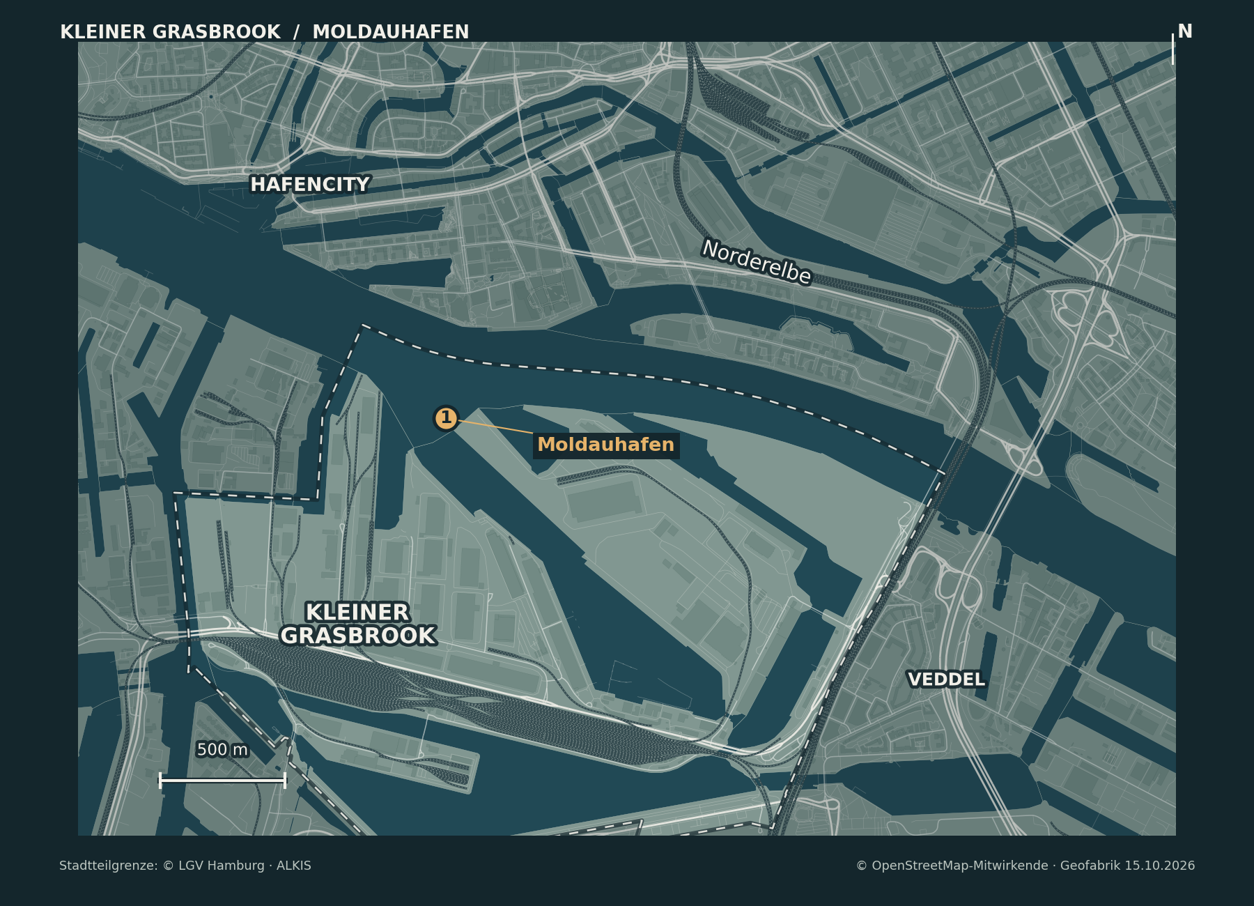
Point 1 on the orientation map marks Moldauhafen. The planned Moldauhafen Quarter lies between the harbour basin and the Northern Elbe. The map does not show individual storage sites or construction boundaries.
What will happen to the rainwater
The rainwater storage system is part of the sponge city approach, designed to help Grasbrook prepare for drier summers and heavier rainfall. Rather than sending rainwater straight into the Elbe, the plan is to store it within the district and use it later to water trees and green spaces.
The wider rainwater plan also includes green roofs and façades, planted courtyards and landscaped streets. Along the planned Grasbrook Boulevard in particular, rainwater will be directed into planted strips, where it can soak into the ground. The plan is therefore to largely avoid conventional street storm drains.
Grasbrook sustainability concept
Planned construction stages
According to HafenCity Hamburg GmbH, construction of the first sections began in October 2026. These are due to be completed in early 2027. The entire underground storage system is scheduled to be finished by 2030.
Project announcement, 5 November · NDR, 6 November
Homes, public green spaces and streets are planned for the Moldauhafen Quarter. The rainwater storage system is intended to help keep trees and green spaces supplied with water during longer dry spells. The exact locations of the individual storage facilities have not yet been specified in the project information.
City of Hamburg: district plans · HafenCity Hamburg GmbH
Sources checked: 6 November 2026. Project announcement dated 5 November; NDR report dated 6 November at 06:54; background information from the City of Hamburg and HafenCity Hamburg GmbH.
Map credits: Cartography for kleiner-grasbrook.net, 6 November 2026. Roads, railways, water and buildings: © OpenStreetMap contributors, ODbL 1.0; Geofabrik Hamburg extract dated 15 October 2026, 20:21 UTC. Reframed and styled in the Night Atlas palette. Kleiner Grasbrook administrative district boundary (117): City of Hamburg, LGV, ALKIS administrative boundaries, Data Licence Germany – Attribution 2.0. The marker identifies Moldauhafen, not the location of the new underground storage. OSM · Geofabrik · LGV licence